|
SUN BELT TRAIL - Organization |
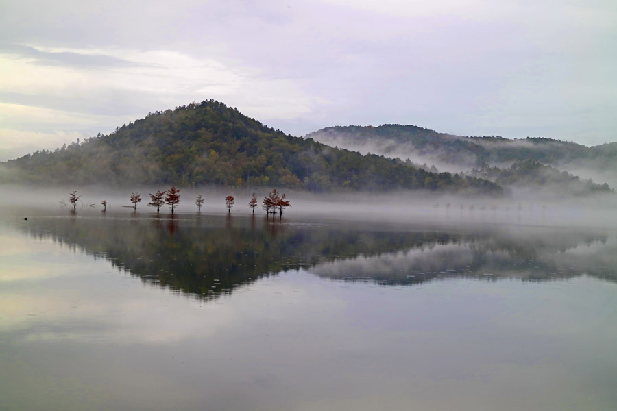
ABOUT THE SUN BELT TRAIL Between two uniquely American mountain ranges, the Appalachian Mountains and the Rocky Mountains, the Sun Belt Trail traverses an equally fascinating landscape that includes, interior mountain ranges, vast grasslands, wide rivers, volcanic cones, alluvial plains and rolling hills. With many iconic places to explore on the way, including Memphis and the Mississippi River, Hot Springs and the Ouachita Mountains, Medicine Park and the Wichita Mountains, it is the great American road trip. But it is substantially more than a road trip. The Sun Belt Trail Corridor provides fantastic recreation opportunities, including hundreds of miles of cycling on backroads and off roads, and hundreds of miles of waterways for canoes and kayaks. The multimodal trail corridor will one day soon deliver cyclists on a route through the Red Clay Hills, across the Mississippi Delta and Mississippi River, and over the Great Plains to the cycling trails along the Continental Divide. With additional surveying and development, thru-hikers will be able to connect between the Appalachian Trail and the Continental Divide Trail, utilizing parts of the Natchez Trace, the Ouachita National Recreation Trail, around Mount Scott into the Anadarko Basin and along the Cimarron River in the Texas Panhandle. Hikers can presently cover more than 700 miles of the planned 1,800 mile trail. The route is not strictly planned for its unique landscapes and iconic places. It is the best route - and also the most exciting route over the Interior Highlands - for hikers to connect the Appalachian Trail and Continental Divide, tying the Triple Crown of hiking trails together and helping create a connected national network, similar to Canada's 15,000 mile The Sun Belt Trail is unique among the national recreation trails. Rather than following a single north-south mountain range, the route traverses lands that are natural, agricultural, industrial, rural and urban. While it passes near several major urban areas, giving access to about 25 million people, population along much of its corridor is relatively low and sparse. And while the corridor offers multimodal uses, scenic diversity and accessibility for tens of millions, another great advantage is its extended season for use. As a multimodal trail corridor with parallel routes for auto tourists, cyclists, hikers and paddlers, users will reach 4-6 million. Substantial numbers of users will be local hikers, runners and cyclists. Long-distance users will reach tens of thousands. Though the ability for numerous thru-hikers and end-to-end touring cyclists will remain limited for the near future, thousands will utilize the long distance routes once they are properly developed and described. Touring cyclists who utilize the route may increase substantially over time, as information improves and the availability of camping and other lodging increases. THE CURRENT STATE The Sun Belt Trail auto route and trail corridor are established. Now that we have the website and -Promote the Sun Belt Trail, Route A (auto trail) -Promote recreation and other interests on the trail, including camping and other lodging -Form trail clubs and related associations, and plan an inaugural conference -Describe current pathways for hiking (roughly 700 miles), and canoeing and kayaking (roughly 1,200-1,500 miles)* -Identify the full cycling route -Plan various activities in communities along the trail corridor -Develop the full hiking route *Note: There is a full river route that is roughly 2,500 miles, but portions are well outside the Sun Belt Trail Corridor, so the extent of information the organization will provide will need to be considered during the inaugural conference. With much of the groundwork in place, trail clubs and other related organizations and associations are forming. The trail clubs will guide the structure of the larger organization, but more importantly, they will improve the trail corridor and its routes, and develop information that is needed from the local level in their trail communities. Trail clubs will: Study potential routes and abandoned railroads; Study and improve frequency of lodging; Develop travel information for users; Plan local meetings and activities; Support plans for national trail-wide events; And, assist to promote trail use for hikers, cyclists, paddlers and auto travelers. While the current pandemic has increased interest in outdoor activities (like cycling, hiking, boating and camping), it has made the organization's plans for an initial trail conference and festival somewhat precarious. As the pandemic hopefully nears its end and gatherings become safe again, the initial conference for trail clubs will be planned and announced. SUN BELT TRAIL GOALS While a full auto touring route exists, accessing many recreation sites and other interesting places, and most of an exciting cycling route can be identified soon, about 40 percent of the route is currently useful for hikers. Several advancements may be made quickly, helping gain momentum for trail development. The Dallas-Fort Worth (DFW) metropolitan area represents the largest community near the trail corridor and a community that is not well connected to national trails or the dynamic landscapes that are most appreciated in the eastern and western regions of the nation. About 100 miles of new trail will make it possible to hike from Plano, Texas (connected just north of Dallas by light rail) to Little Rock, Arkansas. And a loop may easily be developed to connect DFW hikers and cyclists with the Ouachita Mountains and Wichita Mountains, two exciting landscapes that lie only a few hours northeast and northwest of DFW. By working in stages, the organization will provide access across Northeast Texas and other regions to several national trails. Linking segments will eventually provide long-range connection for DFW area hikers and cyclists to the Rocky Mountains and the Appalachian Mountains. Important considerations in the development of routes for cyclists and hikers include interesting routes, safe routes and frequency of lodging (camp sites, hostels, hotels and other rentals). Lodging is necessary at different intervals for hikers, cyclists and auto tourists. While all the necessary lodging is available for auto tourists, it is also generally available for experienced cyclists, but more is needed in places for leisure cyclists. Lodging is available for hikers (primarily camping) on about 50 percent of the route, but more options must be identified and developed as the additional needed pathway is identified. POTENTIAL PROJECTS There are numerous potential projects that may be considered once trail clubs are formed and the initial conference is planned. In addition to their main roles (trail blazing, identification of abandoned railroads and underutilized roads, developing informational resources for trail users), trail clubs will have a key role in determining overall programs of the organization. Numerous projects have been considered. The proposed projects include (a partial list): Each trail organization may plan distinct periodic or annual Community Gathering type activities for the local communities. The trail will be useful for Healthy Activities like local walks and runs, including shared town-to-town participation. A Shelterbelt Program, similar to the historic Great Plains Shelterbelt project, may be developed by involving communities in tree planting through efforts coordinated by trail organizations. A beneficial Service Project may be to organize Youth Camps in one or more regions along the trail corridor. Main Street Activities (health fairs, farmers markets, arts walks, etc) mey be organized in various communities along the trail corridor. A Trail Center for lodging, events, visitor information and administration may be developed. And more. Learn more about the SUN BELT TRAIL. |
|
© Copyright 2021 by SUN BELT TRAIL and MILE ZERO TRAIL ASSOCIATION |